
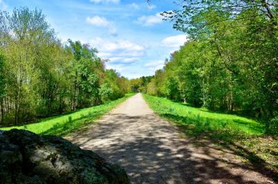
Trail Information and Maps
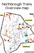
Northboro Trails Overview
An overview map of all the trails in the town of Northborough.


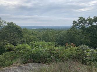
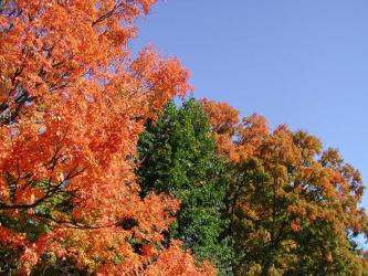
MT. PISGAH TRAILS AREA
Hardwood forest on former farmland;highest point in Northborough. Two scenic vistas to the east with Boston skyscrapers visible on a clear day. Contains 92 Acres of MASS Wildlife land.

EDMUND HILL WOODS TRAILS AREA
A drumlin (oblong hill) of glacial origin. Tall pine forest formed on the bed of glacial Lake Assabet. "Sliding" boulders on steep slopes. Numerous American Chestnut sprouts. Vernal pools.
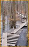
LITTLE CHAUNCEY & CEDAR HILL TRAILS AREA
Boardwalk through wet meadow. Diverse hardwood forest on north-facing slopes. Pine and spruce plantations. Crane Swamp and an extensive wetland meadow.

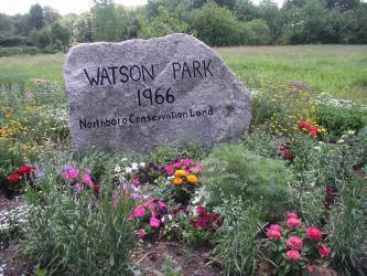
WATSON PARK TRAILS AREA
Views of Bartlett Pond, a manmade pond built in the 1800s. Open fields that form a habitat for bluebirds. Butterfly garden at entrance.
CARNEY PARK/COLD HARBOR TRAILS AREA
A long SuAsCo dam and beautiful views of the watershed area The Cold Harbor Trail winding through the watershed all the way to Cherry Street, and then to Church Street. Please remember to keep dogs on leash at all times for their safety. This is a flood control faciltiy.
CARLSTROM II FOREST
A diverse hardwood forest with large glacial erratic boulders perched on a bedrock ledge. A small white pine grove on a bedrock ridge. Overlooks to the east from a cliff.
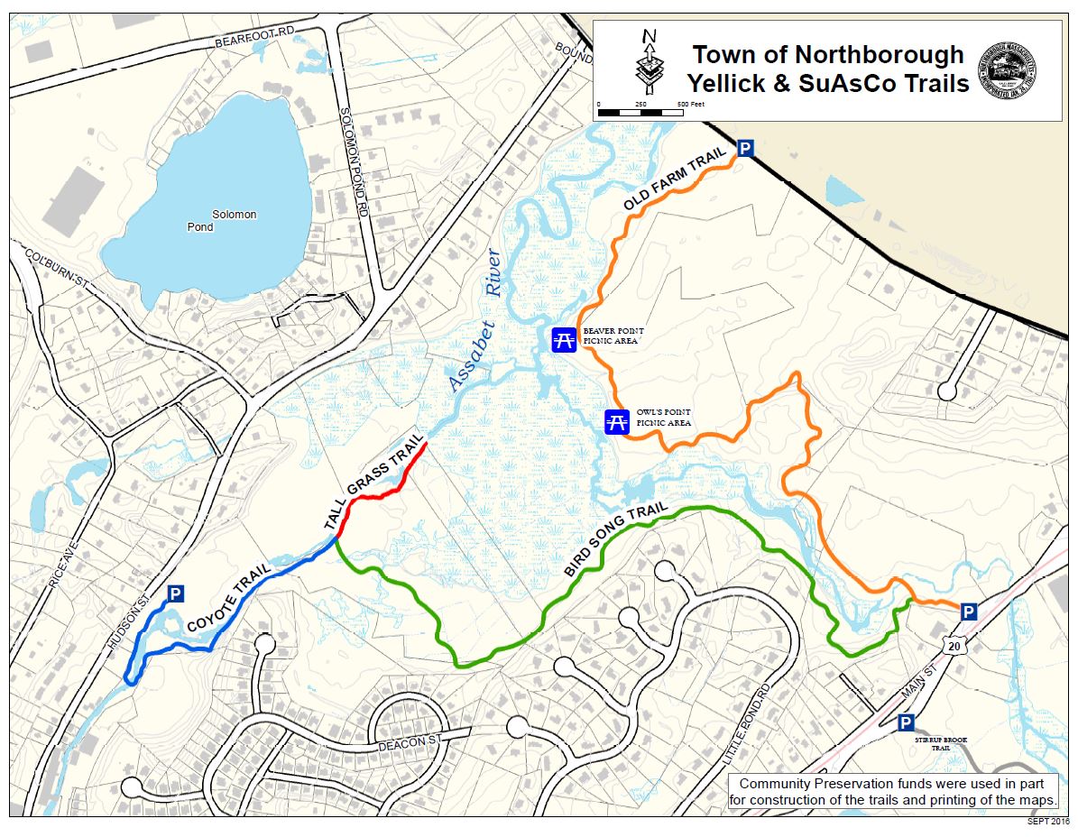
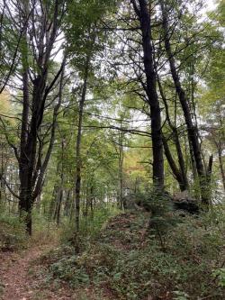
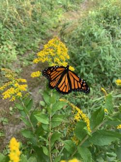
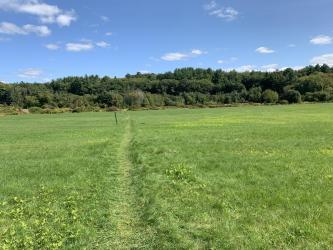
YELLICK CONSERVATION AREA
Access to the Assabet River and large meadows.
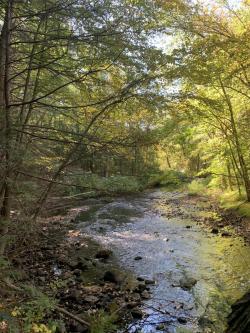
STIRRUP BROOK TRAIL
Start in beautiful marsh land and hike on a farm road into a pine forest. A portion meanders along Stirrup Brook.
Assabet Park Trail
Recreational trail behind Assabet Park and the Splash Pad.
Green Street CR/Schunder's Field
Meadows and forested hills on Green Street.


Aqueduct Trail
MWRA Aqueduct Recreational Trail.